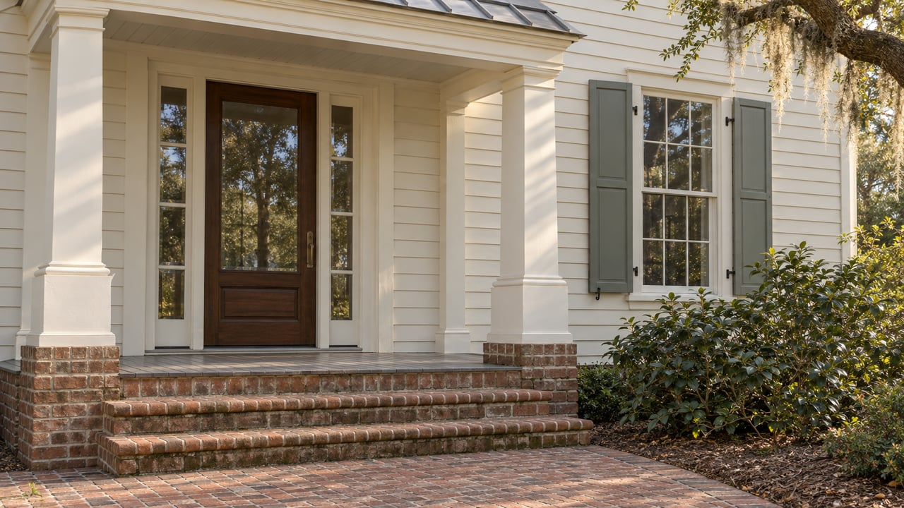
The developer's description of Kane Island's first release is plain. The Settlement page on kaneisland.com introduces 16 waterfront homesites of 1.3 to 4 acres along the island's north shore and says almost all of them have deepwater access, "with those docks preapproved."
In February 2026, The Island Packet reported that the developer planned nine individual private docks on Distant Island Creek, and that the South Carolina Environmental Law Project was urging the South Carolina Department of Environmental Services to deny them. For anyone pricing a deepwater lot here, the dock's permit status is the first thing to confirm, and the answer sits with a state agency. The reason goes back three decades.
The Approval That Already Happened
Kane Island covers 230 acres on Upper Cane Island at 5 Cane Island Road. The owner is Kane Island Development Co. LLC, an Alabama company. The land was once John and Flora Trask's farm, which sold its "fancy vegetables" under the Kane Island name. Many Beaufortonians still remember the daffodils the couple began growing there in the 1960s.
The development runs under a planned unit development and development agreement approved about 30 years ago. According to the Island Packet's January 2026 report, those agreements require only administrative review by the City of Beaufort. That means no public hearing before the Planning Commission, and no requirement to follow current zoning standards. The city has found the agreements valid and says the developers have until 2029 to carry out the plans. Curt Freese, who heads Beaufort's Community Development Department, approved the first phase on those terms. He described the city's position to the paper this way:
"We're kind of at their mercy."
For a buyer, this changes where to look. The local land-use questions are already answered. What remains open goes through state agencies: shoreline work and docks through SCDES, and traffic through the South Carolina Department of Transportation. These are the agencies whose decisions will shape daily life on the island.
The Dock Question Lives in Charleston
The Island Packet's February 2026 coverage described two dock requests. One was the nine individual docks for the first phase. For a later phase, Troy Lucas, senior vice president of Kane Island Development Co., told the paper that 14 docks were being requested. He said that number is below the maximum allowed and in line with nearby islands. The Environmental Law Project argued that the docks should be reviewed together instead of one at a time. In a filing quoted by the paper, attorney Jessie White wrote that the developer "should be required to utilize joint-use and community docks rather than seeking the proliferation of individual docks for every waterfront lot."
A shared facility then went out for comment. A public notice dated August 19, 2026 says Kane Island Development Co. applied to SCDES-BCM for private-use structures in Distant Island Creek just off Islands Causeway. The notice lists:
- A community dock with a 6-foot-wide, 101-foot walkway leading to a 39-by-41-foot covered pierhead
- A 10-by-125-foot floating dock with a covered fish-cleaning station, navigation lighting and potable water
- A concrete boat ramp 17 feet wide and 128 feet long, with riprap on all sides
- A courtesy dock with a 10-by-60-foot float beside the ramp
The notice opened a 30-day comment period. It describes an application. It does not describe an issued permit. A buyer comparing two homesites here may be weighing two different futures for water access. One is a private dock on the lot. The other is a slip-free walk to a shared pierhead and ramp. The way to tell them apart is the permit record for that specific lot.
The Shoreline Plan Has Already Changed Once
The same state office handles erosion control, and that plan has already been revised. The developer first asked SCDES for 1.1 miles of stone riprap, about a third of the site's shoreline, plus an 8.5-foot wooden bulkhead longer than a football field. On November 18, in the weeks before the Island Packet's January 2026 report, Beaufort City Council voted 5-0 for a resolution opposing the riprap plan. The resolution encouraged natural materials such as shell in place of stone. Grant McClure of the Coastal Conservation League told the council that hard surfaces speed up marsh loss, and he pointed to living shoreline work on Battery Creek as an alternative.
By February 2026, Lucas said the riprap in the application had been cut by about half a mile. He tied the remaining work to the trees that sell the island. Hand-placed riprap, he said, would protect the mature live oak canopy from erosion that is already happening. "Given the ongoing erosion, choosing to do nothing would ultimately cause greater environmental harm," he told The Island Packet.
So the oaks around a north-shore homesite and the stone along its edge come from the same permit decision. As of that February coverage, no ruling had been reported. A buyer of a waterfront lot will want to know what the final shoreline treatment looks like in front of that particular parcel.
Two Home Counts for the Same Island
The planned home count and the permitted home count also differ.
| Figure | What it describes | Source date |
|---|---|---|
| 16 homes on 126 acres | Phase 1 waterfront homes, planned by 2027 | January 2026 |
| 214 more homes and a 7,000-square-foot restaurant | Phase 2, planned by 2032 | January 2026 |
| 220 homes | Total the developer has said it plans | January 2026 |
| 445 single-family homes | Total the legacy agreement allows | January 2026 |
| More than 80 acres | Land to be preserved as open space | January 2026 |
The reported phases add up to 230 homes, ten more than the 220 the developer has said it plans, so even the published plan carries some play. The 220-home plan is the developer's intent. The 445-home figure is the entitlement. Because the agreement needs only administrative review, the gap between the two would not come back to a public hearing. A buyer choosing a lot for privacy is choosing it next to whatever the later phases become.
The neighboring island adds to the picture. Across Islands Causeway, the Lower Cane project on Trask family land plans 217 houses by 2028. Thrivemore Advisors LLC is looking to buy and develop it. Its second phase would add a 72-room hotel of four to five stories, a marina, and 150,000 to 200,000 square feet of retail, with completion expected by 2032. Lower Cane had not received final approval as of the February 2026 coverage. Together, the two projects could bring close to 700 homes to roughly 400 acres about five miles from downtown Beaufort and Port Royal.
The Traffic Signal Arrives at House 63
Every trip off Kane Island uses one road. Islands Causeway winds past Cat Island and its golf courses to Ladys Island Drive, just past the McTeer Bridge. In early 2026, an SCDOT spokesperson told The Island Packet that Ladys Island Drive carries an average of 28,000 vehicles a day and Islands Causeway carries 3,700.
The legacy agreement kept the city from requiring a traffic analysis, so SCDOT required one. Documents reported by the paper show the state requiring Kane Island's developer to build a signal at Ladys Island Drive and Islands Causeway once the 63rd house is built. A dedicated left-turn lane into the development would follow in later phases. With both in place, all 445 permitted homes could be built. Lucas said the upgrades "will help the intersection function more safely and efficiently for both current and future residents."
The first release is 16 homes, so the signal is tied to build-out well beyond Phase 1. An early owner should expect the intersection as it works today for some time. How long depends on how quickly the next phases sell and build.
Questions to Settle Before Choosing a Homesite
Each of these follows from the record above, and each has an answer on paper:
- For this lot, is there an issued SCDES permit for an individual dock, or is the dock still an application? Ask for the permit number.
- If the lot's access is through the community dock and ramp in Distant Island Creek, what is that application's status?
- What shoreline treatment is approved in front of this parcel? Riprap, bulkhead, a natural alternative, or none.
- What does the developer expect total build-out to be? Ask how that compares with the 445 homes the agreement allows.
- Which phase and timeline trigger the Ladys Island Drive signal? How many homes have been built toward the 63rd?
- What is the current status of Lower Cane across the causeway, including its hotel and marina phase?
Nothing here is legal or permitting advice. Permit terms and development agreements are documents to review with a real estate attorney and the issuing agency before you rely on them.
The 16 homesites at Kane Island sit among live oaks and magnolias, with Secession's golf course across the water and Bay Street minutes away. If you are considering one, Lloyd Williams can help you find out which lots have permits in hand, what is still pending, and how the shoreline and dock plans affect the specific parcel you're looking at. Let's Connect.